

As great author wrote “While being good to nature is important, it is not enough! To became sustainable we must also effectively protect humans from both themselves and nature. That is the heart of resilience. “Aris Papadopoulos”
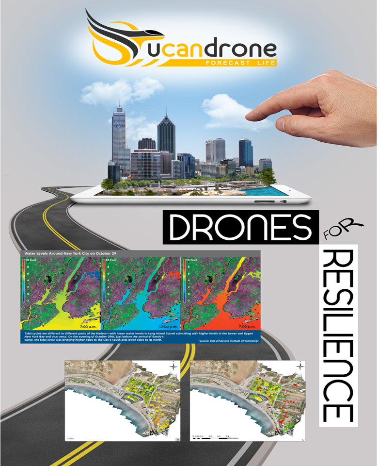
In this work, UcanDrone explores the use sensors commonly used in Aerial Mapping, to assess Coast line structure resilience factors.
In our side, for once more we had Phoreas ultralight powered by pixhawk
With our friends from PEARL Project (Preparing for Extreme And Rare events in coastaL regions), UcanDrone team and the initiative idea from Aris Papadopoulos and his work about “Resilience the ultimate sustainability”.
We tried to assess many factors and valuable observations for the purpose, using common Remote Sensing equipent used during routine cadastral and Mapping missions.
From DEM, to orthophotos and classification, scientists can distribute thinking and knowledge to make us more receptive about new technologies, yet… more resilient.
Hope you enjoy it!


