Inspection & comparative mapping
Inspection & comparative mapping of industrial buildings and zones
Network maintenance
Anticipative and corrective network maintenance
3D ground mapping
3 Dimension digitized ground mapping
Orthophoto
Depicted results in high resolution orthophoto
Interoperable data
Interoperable inspection data
4K Video
4K Mapping Video
Real Time View
Real Time Inspection capability in RGB and Thermal spectrum
Safety
Safety during the data survey process
Low dangerous operations
Low dangerous operations
Lower Labor costs
Lower Labor costs
Shorter inspection time
Shorter inspection time
High resolution and accuracy
High resolution and accuracy mapping
Real time inspection
Real time inspection from multiple ground personnel
Post inspection
Post inspection since all mapping data are kept saved on the ground Station
Data files creation
Data files creation with all recorded inspection in a spatial database

FIELD
SURVEY

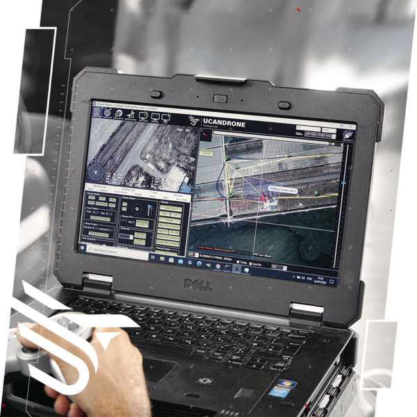
REAL TIME MONITORING
& POST INSPECTION

THERMAL & RGB
INSPECTION

4K MAPPING VIDEO
3 Dimension Mapping
3D spatial digitized Mapping based on Photogrammetry fundamentals, constitutes major factor in Industrial inspections, especially in comparative survey of buildings and zones.
Every engineering aspect or Modification becomes easier, more cost efficient and in shorter time, when it is well spatial mapped in digitized way.
This particular survey performed via photogrammetry principals.
Consecutive photos, based on specific over-side laps and characteristics, is processed by dedicate specialized software and photogrammetry methods.
After this stage, arithmetic calculations are implemented in order to produce and export 3D ground scenery in:
DTM – Digital Terrain Model
DSM – Digital Surface Model
DEM – Digital Elevation Model
In addition, once georeferenced these particular data, have geodetic coordinates in Greek Geodetic Georeference System, while the results depicted in High resolution orthophoto and 3D digital models
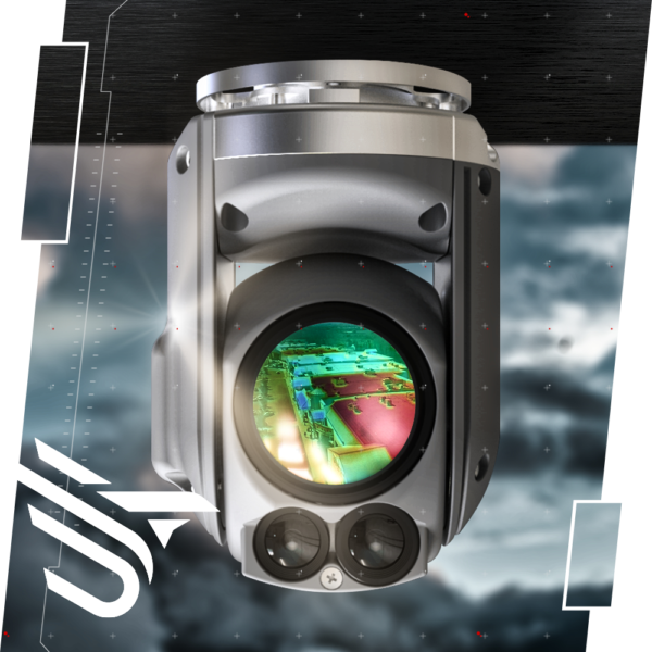
Focus – Automatic camera targeting capabilities
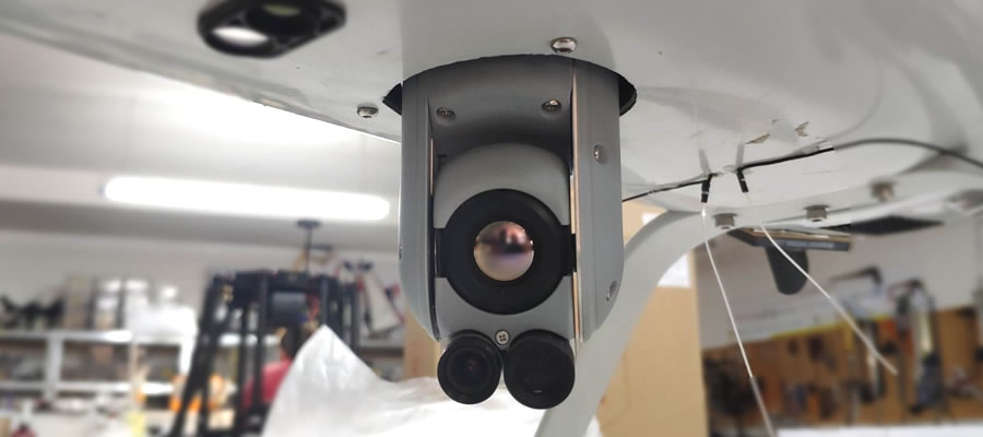
Zoom capability in both spectral bands as well as the 2 axis camera gimbal are special advantages of our UAS configuration.
There fore the supervisor can easily focus and target the camera at his discretion, with appropriate knobs and switches from independent remote controller. Hence, camera can move independently from the drone flight path movement.

chat

