Electricity
– Preventive maintenance of high voltage grid network
– Overview & Comparative assessmentof buildings and installations
Renewable Energy Sources
– Wind farm overview
– Preventive maintenance of wind turbines and auxiliary infrastructure
– Installation and road construction studies
Oil & Gas
– Overview – preventive network maintenance
– Invisible pipeline leak detection
– Oil and gas pipeline mapping & monitoring
– Oil spill estimation
– Overview operations in an unfriendly environment
Lower cost & shorter time
Lower cost of inspections
Ease and shorter recording time
Safety & Low Risk
Possibilities for overview in an unfriendly environment (high temperatures, gaseous pollutants, etc.) where human intervention is dangerous
Ability to capture difficult areas without risks to human resources
Ultra-high video
Ultra-high video resolution capability
High recording analysis and accuracy
Flexibility and interoperability
Flexibility and interoperability of deliverable material
Real time inspection
Real time inspection on the ground by all involved parties at the same time
Post inspection
Post inspection since all data is recorded
Maintain spatially enabled record
Ability to maintain spatially enabled record with all inspections in databases and geodata bases
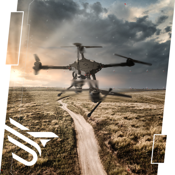
FIELD
SURVEY
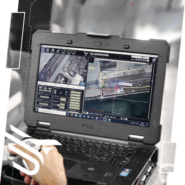
REAL TIME MONITORING
& POST INSPECTION
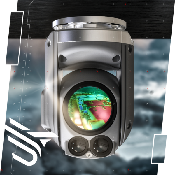
THERMAL & RGB
INSPECTION

4K Resolution Video
The use of 4K video recording, provides us with the best image quality we can have today.
This resolution varies from 3840×2160 to 4096×3112 pixels, i.e. more thantwice the full HD image quality equivalent, with the ability to record details with very high accuracy and with real time inspection from the ground.
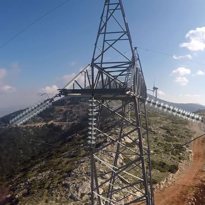
Preventive & invasive maintenance of energy networks
Services and applications of planned preventive and/or invasive maintenance inspections
In a high voltage grid, safely, without the involvement of human resources and without interruption of power distribution,real timemonitoring& post inspection capability
Wind turbines and auxiliary infrastructure of wind farms and networks of other renewable energy sources
Oil and gas pipeline networks with mapping, reviewing and detecting invisible leaks in the network
In combination with other industrial applications:
Overview and comparative capture of buildings, installations and networks
Surveys mappings and digital twin production
Oil spills assessment
Special operations – missions in an inaccessible and/or non-friendly environment
3D display
Spatial 3D imaging in digitized form, based on the principles of photogrammetry, which are analyzed by special software and then processed with photogrammatic procedures up to the final export of 3D deliverables and derivatives such as: DTM (Digital Terrain Model), DSM (Digital Surface Model), DEM – (Digital Elevation Model)
Geometric correction (georeference), and acquisition of geodetic coordinates in all Reference Systems
Display results in high-resolution and accuracy orthophotos and 3D digital models
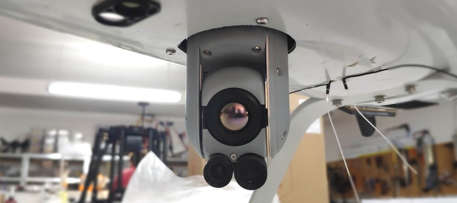
Focusability – standalone camera handling
A key advantage is theability to focuson both spectrum options and independent movement of the camera.
Thus the inspector is able to focus where he deems necessary during the flight, with the help of a switch but also to turn the camera as he wishes in any direction with a separate controller, regardless of the movement and location of the droneused.
chat

